
The Lixel L3 integrates a high-accuracy LiDAR sensor, a 4K HDR imaging system, and RTK positioning into a single unit. By processing data locally, the system generates true-color point clouds, detailed meshes, and 3D Gaussian Splatting (3DGS) models. This workflow addresses the industry shift toward photorealistic digital assets, supported by the company’s proprietary LCC2 format, which aligns with emerging standards in software like Autodesk 3ds Max and Trimble SketchUp.
In section Releases
XGRIDS Launches Lixel L3 Scanner with 5 mm Accuracy
At the INTERGEO 2026 conference in Munich, XGRIDS unveiled the Lixel L3, a spatial scanner capable of capturing 100 square meters of high-fidelity data in just 10 minutes. The device distinguishes itself with a validated 5 mm relative accuracy, aiming to bridge the gap between field capture and BIM integration.
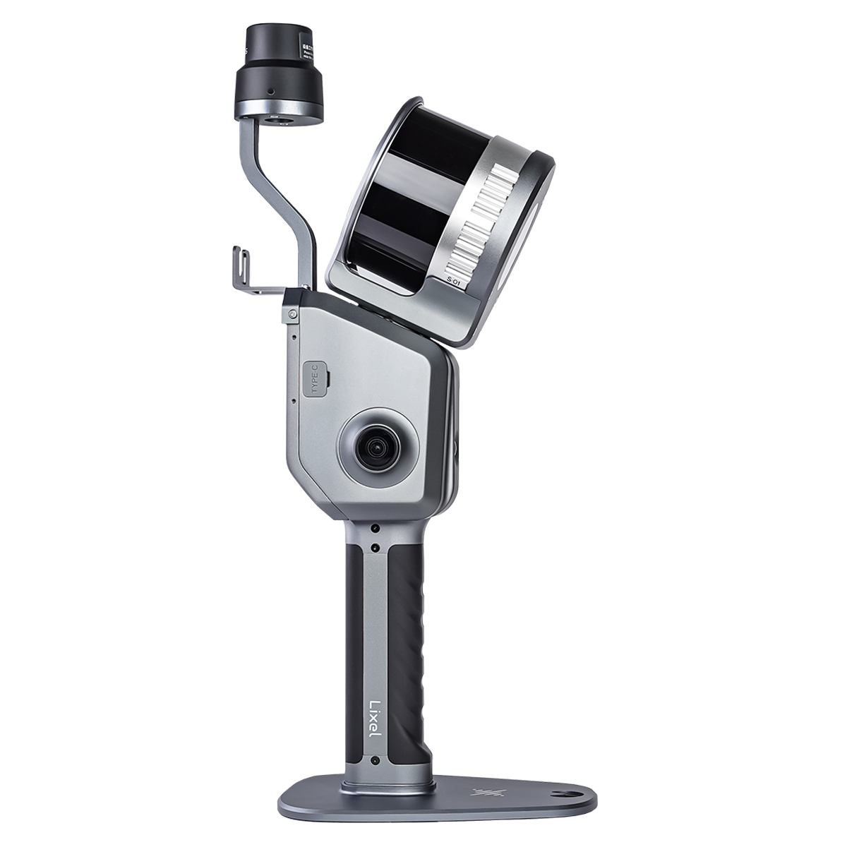
Technically, the scanner relies on vision-aided localization and leveling optimization to mitigate drift during extended operations. Sunny Liao, Director of International Sales and Marketing at XGRIDS, emphasized that the 5 mm relative accuracy is designed specifically for field reliability and seamless software compatibility. The unit also includes a 4.3-inch display for real-time monitoring and automated scan alignment that functions without the need for preset control points, alongside built-in privacy tools for blurring sensitive visual data.
Comments (0)
No comments yet. Be the first!