Satellite Imagery Reveals Scale of Destruction Across Gaza
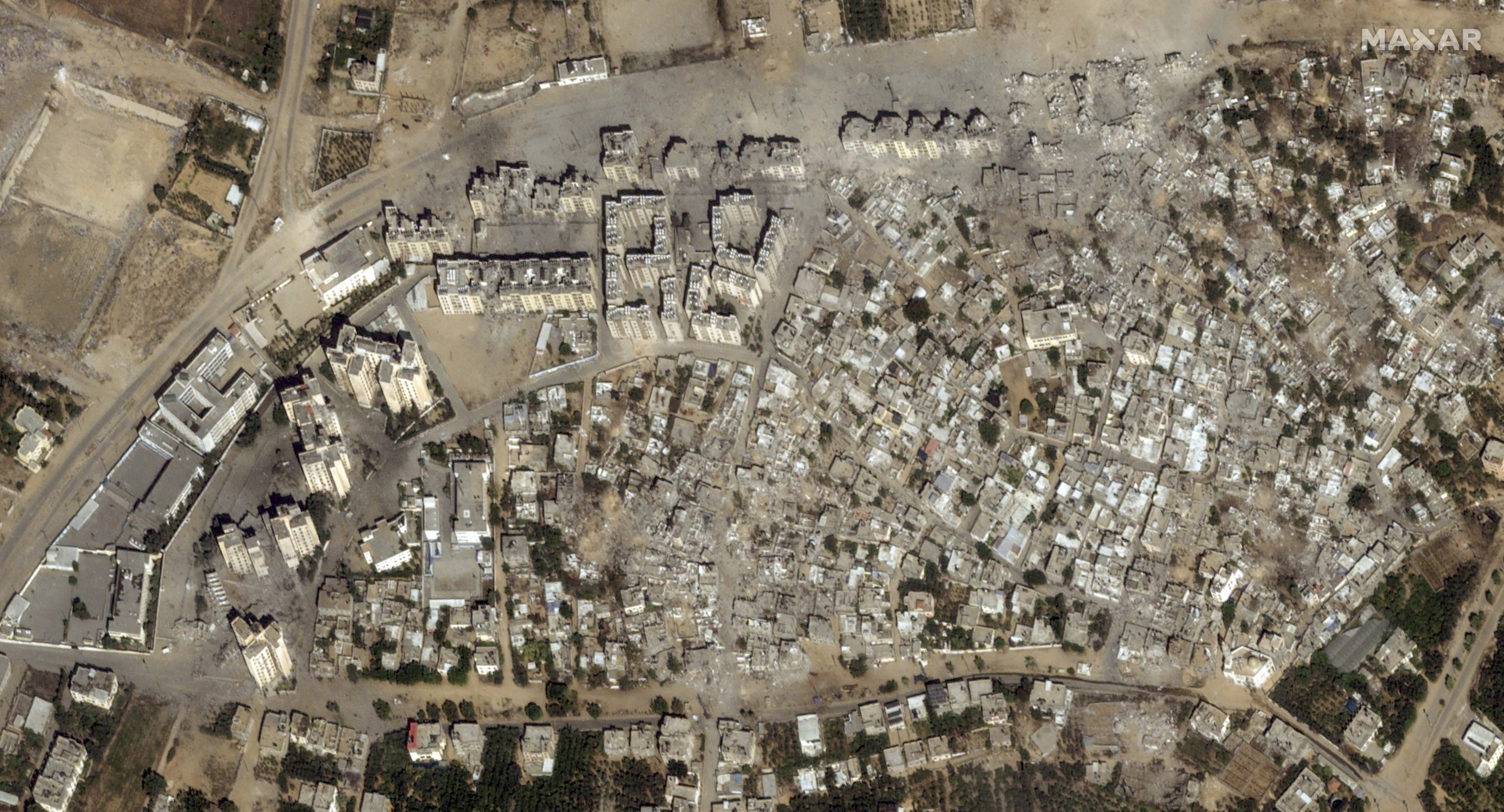
Updated Google satellite data brings the sheer magnitude of Gaza’s devastation into view, showing entire urban landscapes flattened into gray rubble. These images confirm widespread reports of leveled neighborhoods, offering a stark, bird's-eye perspective on a territory where most civilian infrastructure has been systematically erased over the past year.
By Corp and Tech·September 28, 2026·2 min read·410 reads
The digital maps, accessible via Google Earth and Google Maps, serve as a visual ledger for the humanitarian crisis. Palestinian journalist Abubaker Abed described the experience of viewing his own birthplace in ruins on the platform as heart-shattering, while US writer Linda Mamoun observed that users can now scroll through thousands of locations that effectively no longer exist.
Independent assessments corroborate the visual evidence. Data from the United Nations Satellite Center (UNOSAT) indicate that approximately 82% of all structures in Gaza—totaling over 201,000 buildings—sustained damage as of June. The destruction is particularly acute in Rafah, where Israeli forces continued operations despite an International Court of Justice order to halt the assault.
Beyond the physical ruins, the human toll remains staggering. Recent UN reports estimate that 1.9 million people have been displaced, with 92% of the territory’s economic establishments rendered non-functional. With reconstruction costs projected at $71.5 billion, the images underscore a lasting scars on the region, even as Israeli leadership faces international scrutiny over alleged war crimes and crimes against humanity.

Comments (0)
No comments yet. Be the first!